How to Measure Distance Between Two Points in Google Maps
Last Updated :
29 Dec, 2023
How to Measure Distance Between Two Points on Google Maps – Quick Steps
- Open Google Maps on your computer.
- Right-click on your starting point.
- Select “Measure distance.”
- Create a path for measurement by clicking anywhere on the map.
- To add additional points, click on different locations on the map.
Google Maps is one of the most popular and widely used map services in the world, providing various features to the user to find a location on the map or any essential stores nearby. You can easily calculate distance using Google Maps between any two or more locations.
In this article, we are going to discuss this feature of Google Maps ” Calculate Distance on Google Map” and will learn how to find distance on Google Maps using a PC or Mobile.
How To Calculate Distance On Google Maps on PC
Step 1: Open Google Maps
Note: You need to log in with your Google account
Step 2: Click on the location and choose the small direction Icon at the bottom
In the browser Search Google Maps and Double-click on the destination point.
-768.webp)
Find Destination point
Step 3: Enter the Starting Point
If you double the destination point then a small window opens at the bottom in which there is a direction icon, click on the direction icon else a side window opens that shows details of the destination place and there is a direction button click on that button.
-768.webp)
Choose starting point
Step 3: Find Distance
Enter the starting point or choose the starting point on the map. Double-click on the starting point then you will see the distance between two points inside the window with direction details.
-768.webp)
Find Distance
How To Calculate Distance On Google Maps on Android
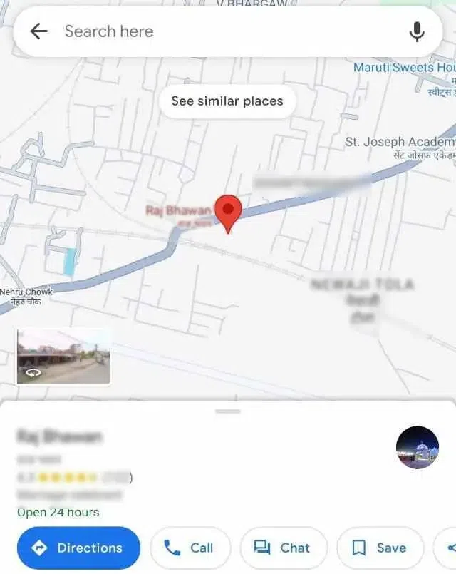
Step 1: Open Google Maps and Find the Destination
Open Google Maps on your Android phone and find the destination point using the search box or tab on the map.
Open Google Maps and Find the Destination
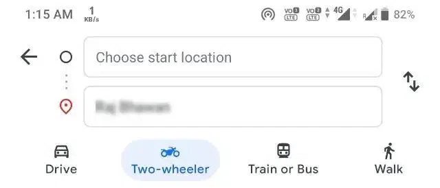
Step 2: Click on the Enter Direction Button
Destination place details are open where the direction button is available, click on the direction button.
Click on the Enter Direction Button
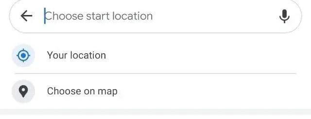
Step 3: Enter Starting Point Details
Enter the starting point details or select choose on map option.
Enter Starting Point Details
Step 4: Distance Found
A new page will open where the starting point can be searched or can be chosen from the map, after choosing the starting point you will see the distance and direction between the two places.
Distance Found
How to Calculate square feet or meters on Google Map
Step 1: Access Google Maps and select the Layers icon located at the bottom left
Open Google Maps in your browser and there is an option layer in the left corner of the map click on it.
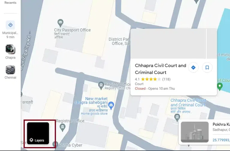
choose layers
Step 2: Open Satellite View
When you click on layers, layers of the map open choose the satellite option.
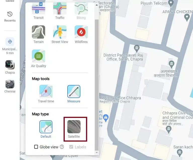
satellite view
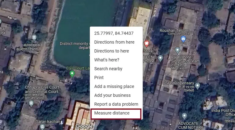
Step 3: Measure the Area
Right-click on any building or any area you want to measure and choose the option measure distance.
Step 4: Choose Measure Points
Now click on the boundary of the you want to measure area and it will show the distance of the point in square feet or meters.
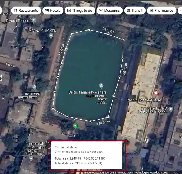
Choose points
Conclusion
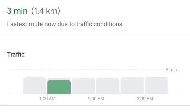
Calculating Distance on Google Maps is simple, and it is very useful to users to find the distance in an unknown city where you do not know anyone or not know any place how far it is. By searching locations and placing pins you can reveal travel time statistics. Using instructions you can efficiently measure the distance on both desktop and phone.
FAQs
How do I find the distance between two places on Google Maps?
Here the steps to find the distance between two places in Google Maps
- Open google maps
- search for the starting location
- select starting point
- search for destination
- select destination
- view distance
How do I calculate the distance traveled on Google Maps?
Here the steps for calculate distance traveled on google maps
- Open google maps
- Plan your route
- Enter starting and ending point
- choose mode of transportation
- view directions
- View distance information
Is Google Maps accurate with distance?
Yes, Google maps is accurate with distance because it use complex algorithm to calculate the distance. The accuracy depends on various factors
- Mapping data
- GPS technology
- Route Updates
- Traffic Condition
- Local Factors
- User Contribution
How do I calculate area in Google Maps?
Steps to calculate area in Google maps.
Open map and choose satellite view.
Right click on area or building whose area you want to calculate and choose measure distance option.
left click on boundary of area and join to starting points it will show you area in square feet or meter.
Share your thoughts in the comments
Please Login to comment...