India Location| Chapter 1 Class 11 Geography Notes
Last Updated :
26 Apr, 2024
India Location is the first chapter in CBSE Class 11 Geography, which discusses the concept of location and size. Class 11 Geography Chapter 1 discusses where India is located. India is in South Asia and is entirely in the Northern Hemisphere. It’s surrounded by water on three sides: the Indian Ocean to the south, the Arabian Sea to the southwest, and the Bay of Bengal to the southeast.
Understanding where India is located is important for understanding its relationships with neighboring countries and the world. The India Location notes cover all the necessary topics that are extremely important for the examination 2024. It can save you time and will positively affect your results.
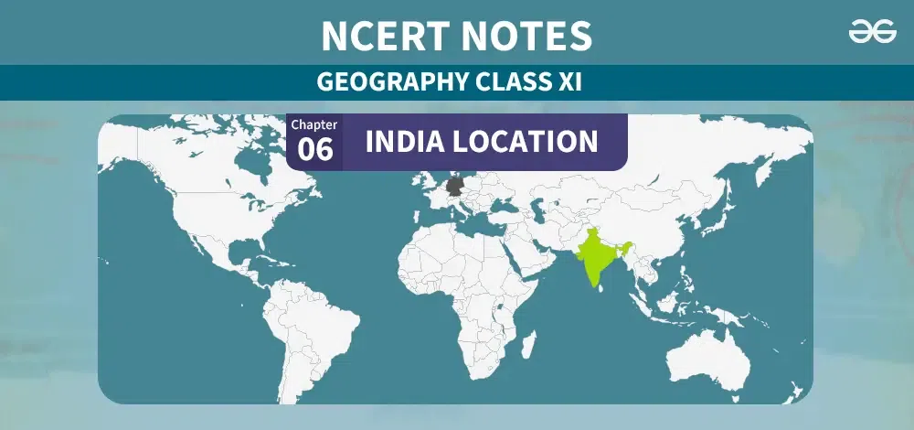
India Location| Chapter 1 Class 11 Geography Notes
India Location
India is a vast country, situated entirely in the Northern Hemisphere. The mainland stretches between latitudes 8°4’N and 37°6’N and longitudes 68°7’E and 97°25’E. The Tropic of Cancer, positioned at 23°30’N, effectively divides the country into almost two equal parts.
The southeast and southwest of the mainland, lie the Andaman and Nicobar Islands in the Bay of Bengal and the Lakshadweep Islands in the Arabian Sea, respectively.
Note: The southernmost point of the Indian Union– ‘Indira Point’ got submerged under the sea water in 2004 during the Tsunami.
India Size
India covers a land area of approximately 3.28 million square kilometers, accounting for about 2.4 percent of the world’s total geographical area. It ranks as the seventh largest country globally. The Indian subcontinent shares a land boundary of approximately 15,200 kilometers, and its coastline, including the mainland, Andaman and Nicobar Islands, and Lakshadweep Islands, spans 7,516.6 kilometers.
India is Bounded by the young fold mountains in the northwest, north, and northeast, India tapers southward from about 22° north latitude, dividing into the Arabian Sea to the west and the Bay of Bengal to the east. Despite an overall latitudinal and longitudinal extent of about 30°, the east-west dimension seems shorter than the north-south extent. The Standard Meridian of India, passing through Mirzapur in Uttar Pradesh at 82°30’E, serves as the country’s standard time zone, with a time difference of two hours from Gujarat to Arunachal Pradesh. The latitudinal extent influences the duration of day and night as one moves from south to north.
India and the World
India holds a strategic central position between East and West Asia, acting as a southern extension of the Asian continent. The trans-Indian Ocean routes link Europe in the West with East Asian nations. With its extensive coastline, India boasts one of the longest stretches along the Indian Ocean. Over the ages, India has maintained continuous connections with the world. Merchandise like spices and muslin were exported from India to various countries. Conversely, Indian culture reflects influences from abroad, such as Greek sculpture and architectural styles like domes and minarets from West Asia.
Interesting Fact – Before 1947, there were two types of states in India — the provinces and the Princely states. Provinces were ruled directly by British officials, who were appointed by the Viceroy. Princely states were ruled by local, hereditary rulers, who acknowledged sovereignity in return for local autonomy.
India and its Neighbours
India holds a significant strategic position in South Asia. It comprises 28 states and eight Union Territories.
- Pakistan and Afghanistan in the northwest
- China (Tibet), Nepal, and Bhutan in the north
- Myanmar and Bangladesh in the east
To the south, India’s neighbors across the sea are the island countries of Sri Lanka and the Maldives. Over time, India has maintained strong geographical and historical connections with its neighboring nations.
Related Articles
FAQs on Class 11 Geography Ch 1 India Location
What are the geographical coordinates of India?
India lies entirely in the Northern Hemisphere, between latitudes 8°4’N and 37°6’N, and longitudes 68°7’E and 97°25’E.
How is India divided by the Tropic of Cancer?
The Tropic of Cancer (23° 30’N) divides India into two almost equal parts.
What is the area of India?
India’s landmass covers an area of 3.28 million square km, accounting for about 2.4% of the total geographical area of the world.
How long is India’s coastline?
India has a total coastline length of 7,516.6 km, including the mainland, Andaman and Nicobar Islands, and Lakshadweep.
What is the significance of the Standard Meridian of India?
The Standard Meridian of India (82°30’E), passing through Mirzapur, Uttar Pradesh, is considered the standard time for the whole country.
Which countries border India?
India shares its land borders with Pakistan, Afghanistan, China (Tibet), Nepal, Bhutan, Myanmar, and Bangladesh. It also has maritime boundaries with Sri Lanka and the Maldives.
Share your thoughts in the comments
Please Login to comment...